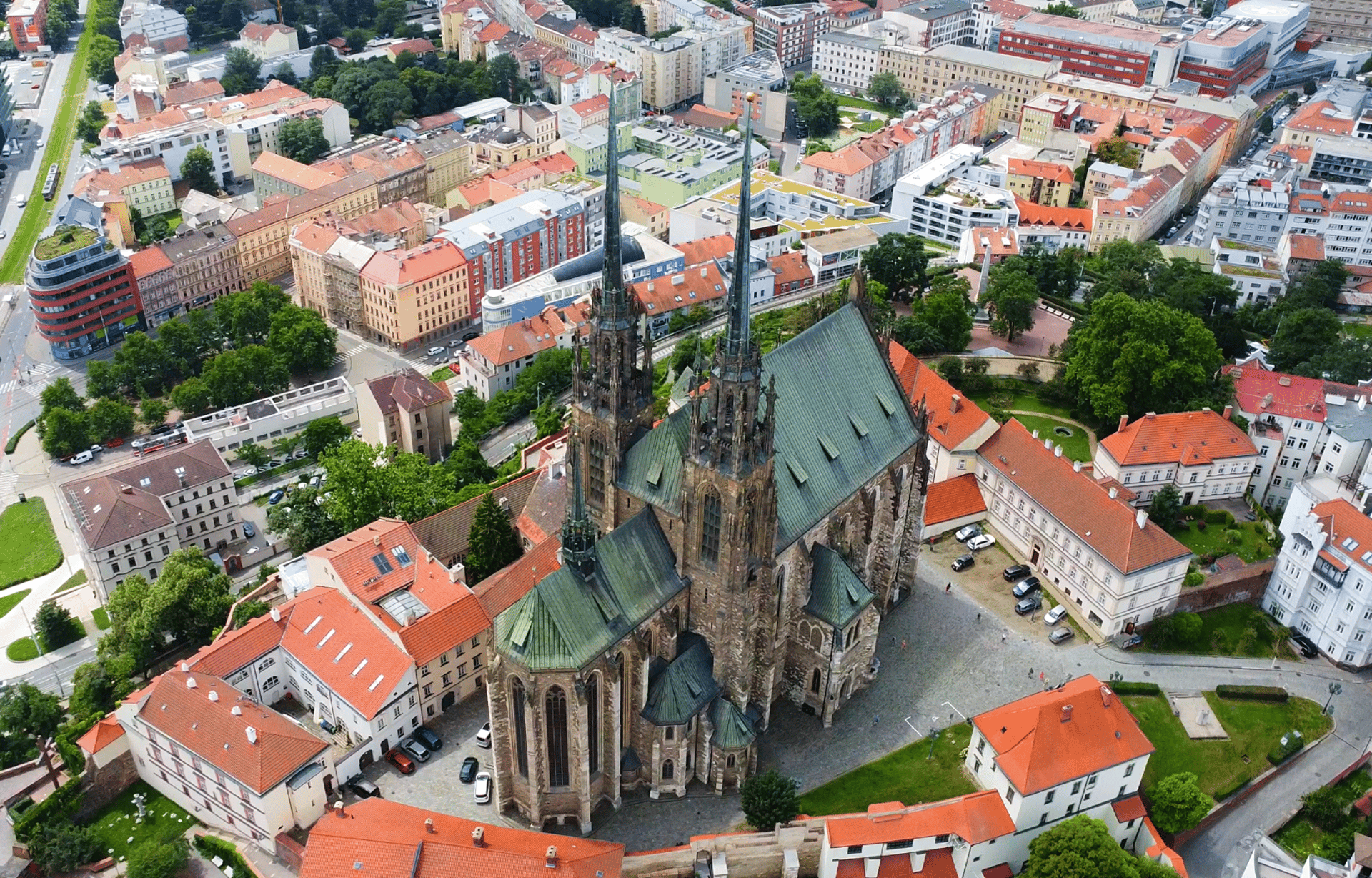
Your Site, Captured in Three Dimensions
One drone flight becomes a photorealistic 3D model you can walk through from anywhere in the world
↓ ↓
Interact with the sample below:
How It Works
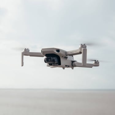
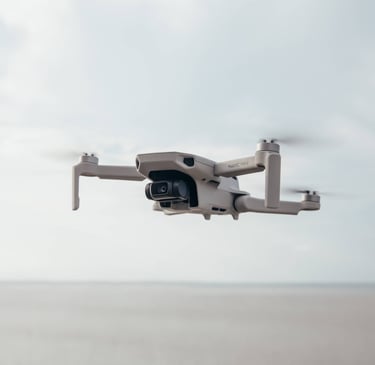
We Capture
We Reconstruct
You Explore


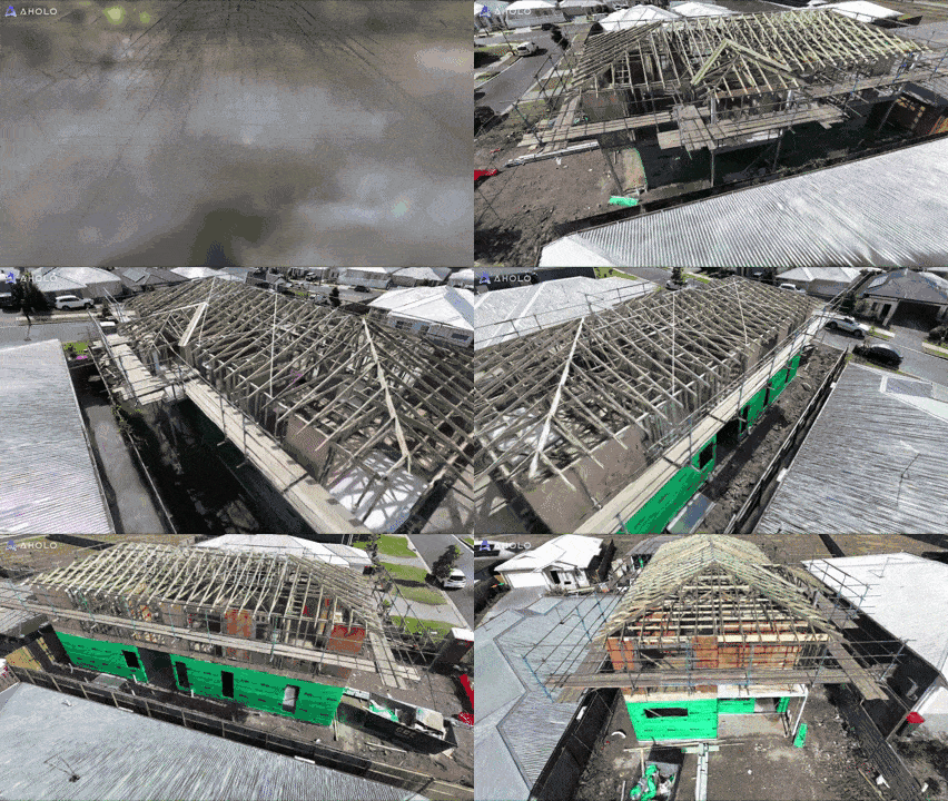
A licenced pilot visits your construction site and collects data using professional flight techniques designed specifically for high-quality 3D reconstruction.
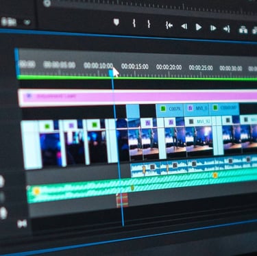
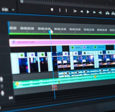
The data is transformed into a detailed interactive Gaussian splat model that accurately preserves the appearance of your project.
Receive an interactive model you can view, share, download and revisit whenever you need it — timeline, format, and extras set by your package.


Making 3D mapping easy, efficient, and accessible for everyone.
Contact
Updates
contact@nerfly3d.com
+61 491 031 460
ABN 47 945 108 652


© 2026. All rights reserved.